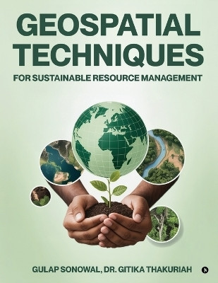
Geospatial Techniques for Sustainable Resource Management(English, Paperback, Gulap Sonowal)
Quick Overview
Product Price Comparison
This book presents practical applications of Remote Sensing (RS), Geographic Information Systems (GIS), and the Global Positioning System (GPS) for sustainable resource management. It adopts a multidisciplinary approach to assessing, monitoring, and planning the use of land, water, and forest resources. By exploring advanced techniques and real world case studies from leading institutions, the book serves as an essential guide for students, researchers, and practitioners in geography, environmental sciences, and agricultural management who aim to develop effective strategies for resource planning and environmental protection. Today, GIS is widely applied across the globe for diverse purposes, ranging from environmental monitoring to urban planning. With GIS, it is possible to develop spatial, temporal, and dynamic models that support effective decision-making. More broadly, geospatial information systems collect, store, validate, and present information about locations on the EarthŌĆÖs surface. By merging traditional database operations such as queries and statistical analysis with the graphical and geographic insights provided by maps, geospatial technology plays a pivotal role in sustainable development and resource management.


