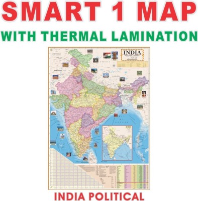
India Map : Political - Wall Chart Paper Print(40 inch X 28 inch, Foldable)
Quick Overview
Product Price Comparison
The India Political Map Wall Chart is a high-quality, educational tool designed to help students, professionals, and competitive exam aspirants gain a clear understanding of the political boundaries of India. This map is printed on durable paper and is perfect for reference in classrooms, homes, or study areas. It displays the states, union territories, capitals, and important political features of India, making it an essential resource for students preparing for UPSC, SSC, and other competitive exams.


