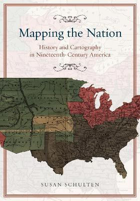
Mapping the Nation - History and Cartography in Nineteenth-Century America(English, Paperback, Schulten Susan)
Quick Overview
Product Price Comparison
In the nineteenth century, Americans began to use maps in extraordinary new ways. Medical men mapped diseases to understand epidemics, natural scientists mapped climate to uncover weather patterns, and Northerners created slave maps to assess the power of the South. And after the Civil War, federal agencies embraced statistical and thematic mapping in order to profile the ethnic, racial, economic, moral, and physical attributes of a reunified nation. In Mapping the Nation, Susan Schulten charts how thematic maps demonstrated the analytical potential of cartography. This radical shift in spatial thought and representation opened the door to the idea that maps were not just illustrations of data, but visual tools that are uniquely equipped to convey complex ideas, changing forever the very meaning of a map.


