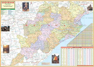
ODISHA MAP size : 100x70 centimeter With Fact & Figure District Area, Population, Density, Sex Ratio, Literacy, Distance Between Major Cities, Etc. Updated : Oct 2020 Paper Print(28 inch X 40 inch)
Quick Overview
Product Price Comparison
Map size : 40"x28" (100x70 cm), Language : English. Certified By Survey of India. Multi colour printing on 80 GSM map lithe paper. This chart is ideal for putting up on a wall or a board. Languages Available English Besides administrative boundaries the map also shows various Districts, Cities, Towns, Railway Network, National Highways, Major Roads, Rivers in etc.

