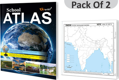
SCHOOL ATLAS (ENGLISH) - MAPLITHO And SMALL - 100 INDIA POLITICAL OUTLINE MAP FOR SCHOOL I Combo Pack Of 2 Charts I Learn Geography And Map Skills(Paperback, GOWOO)
Quick Overview
Product Price Comparison
"""Introducing the ultimate combo for geography enthusiasts and students - the ""School Atlas (English) - Maplitho"" and ""Small - 100 India Political Outline Map for School."" This powerful combination provides a comprehensive and versatile set of resources for exploring and understanding geography. The ""School Atlas (English) - Maplitho"" offers a wealth of detailed maps, providing a comprehensive worldview. With clear labelling, topographic features, and thematic maps, this atlas is essential for studying and analysing various regions and countries. The ""Small - 100 India Political Outline Map for School"" is paired with the atlas, focusing specifically on India's political boundaries. This compact map allows students to visualize and identify India's states, union territories, and significant cities, fostering a deeper understanding of the country's political structure. The combination of these resources offers a complete package for students, allowing them to explore global geography with the atlas and delve into the specifics of India's political landscape with the outline map. Whether used in the classroom or for independent study, this combo enhances geographical knowledge and supports comprehensive learning. Invest in the ""School Atlas (English) - Maplitho and Small India Political Outline Map Combo for Schools"" and empower students with valuable resources to expand their geographical horizons and develop a deeper understanding of the world around them."""


