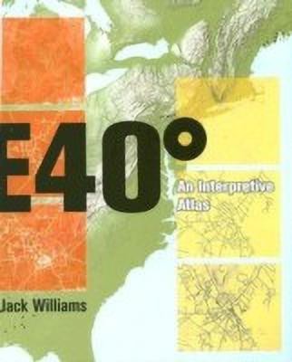
East 40 Degrees(English, Paperback, Williams Jack)
Quick Overview
Product Price Comparison
The Appalachian mountain chain once contained the highest and most dramatic mountains on earth. Worn down over time, these mountains still hold some of the most diverse climactic zones and singular geological formations in existence. In ""East 40 Degrees: An Interpretive Atlas"", Jack Williams examines a succession of beautiful but little-known towns along this cordillera (a term descended from the Latin chorda, meaning ""braided rope""), revealing in their layers of history and geography how both their diverse cultural and social circumstances and their geological history were instrumental in forming each town's distinctive character. Referring to the spatial orientation of the Appalachian mountain chain, the ""east 40 degrees"" of the title runs from Alabama through fifteen states to the coast of Maine. Each town, Williams examines, sits within the folds of these mountains or beside a river nourished in their moist uplands. Beginning his record with the continental collisions that shaped each town's history more than 300 million years ago, Williams allows us to ""see the tenuous web of connections between ourselves and the natural processes that shape this earth."" Featuring a wealth of beautiful and significant illustrations and maps, this unique work brings into focus the critical issues of environmental and cultural sustainability confronting us today. Elegant, poetic, and erudite, ""East 40 Degrees"" will appeal to architects and landscape architects, planners, environmental historians, ecologists, geographers, and anyone interested in the history and origins of our modern landscapes and towns. Publication of this volume was assisted by a grant from Furthermore: a program of the J. M. Kaplan Fund.


