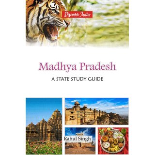
Madhya Pradesh A State Study Guide
Quick Overview
Madhya Pradesh is commonly abbreviated as M.P. in India local. Its name “Madhya Pradesh” means “Central Region” because is if located at Central of India in plains. Till year 2000, Madhya Pradesh was the largest state of India in area-wise but after creation of Chattisgarh state from Madhya Pradesh area, it become second largest state in area-wise and 6th largest state in population wise. Is is among few states of India who shares their state border with other states of India and not with any other country or coastal line. Its north-east border touches Uttar Pradesh state, north-west border touches Rajasthan, western border touches Gujarat, south-west border touches Maharashtra state and south-east border touches Chattisgarh. After Independence, all the states signed the instruments of accession in to the Indian Union & on 28th May, 1948 a new state, Madhya Bharat came into existence with Indore & Gwalior as its capital. In the north, as the result of merger of 35 princely states of Bundelkhand & Baghelkhand, Vindhya Pradesh cane into being in April 1948 & in 1952, an elected ministry was formed with Rewa as its capital. Madhya Pradesh is a state in the India. This book is endeavours to present before the readers a panoramic view of the state, its districts, places, cultures, arts and crafts, developmental policies, economy along with history of dynasties that ruled the state.
